Entering Kauehi
Kauehi, Tuamotu, French Polynesia
And so there we were, sailing through a coral reef, hundreds of miles from any possible source of rescue, all in the name of good times. We chose to do this, for fun, I might add. Funny thing happens when you loose about 4 miles worth of sea depth in the span of a few feet…you get some odd wave activity. Go figure.
After that little bit of oceanographic adventure we proceeded down what I like to call the “Transit of TERROR.”

(Yeah, just in case you are lazy enough to use a photo with PowerPoint arrows on it to steer through a reef, this is not a chart for navigation. Exact ship track line may vary in actual practice 😉
You see, the people who settled this little oasis of land decided to found their village on the largest spit of land they could find, which makes sense being as the majority of the island’s width would not allow for an arena football field (50 yards to the uninitiated). Downside is the spit of land is on the exact opposite side of the friggin’ lagoon from the only navigable entrance! Remember this tropical “lagoon” is actually a ship’s minefield of jutting rocks and coral heads that hang just below the islands surface. Just low enough to not be seen and just high enough to go though your fiberglass hull like a spear though butter. No, not a knife, a spear. There is a chart of the lagoon that shows where the clear water is, but yeah right, how accurate is that? Personally, I don’t see a lot of oceanographic survey ships making regular rounds of these islands so for all we know, good ol’ Capt Cook provided this information with his lead line a few hundred years back and my guess is that the coral has grown since then.
The end result is that for the next 3 hours Allan drives the boat while the three of us peer over the bow in the vain hope that we will be able to see any uncharted rocks, shout a warning and turn the boat before we all sink.
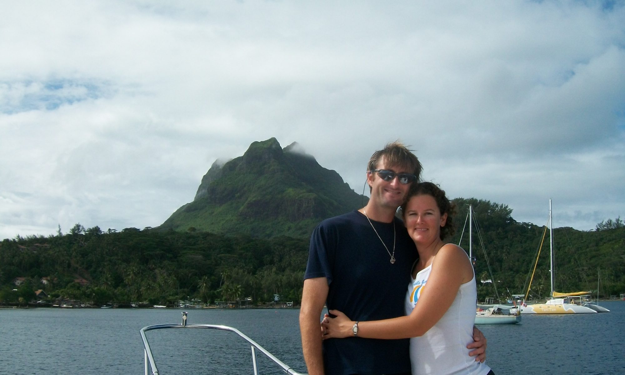
Again…we did this for fun…really. It was great.
In the end though, our fears were largely unfounded. The chart was pretty accurate and by that I mean we didn’t crash into any unexpected rocks, though a few did loom frighteningly close out of the depths. (water magnifies things, FYI, makes ‘em look closer). We got in, dropped the hook and departed to explore the village of people who call this place home.
-Greg